Brean
A long sandy beach and the headland of Brean Down
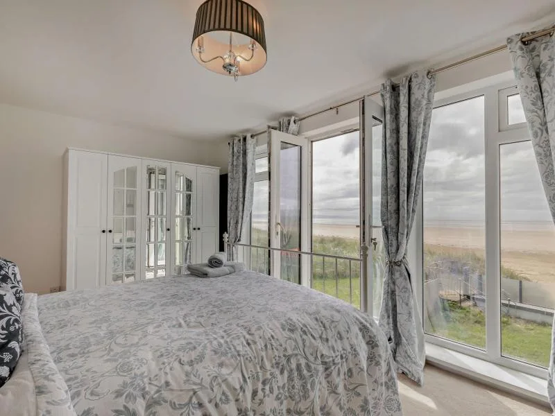
Brean is a village and civil parish between Weston-super-Mare and Burnham-on-Sea, on a strip of land between the sea and the River Axe. The beach is long, flat and sandy, and it has been used for land sailing since 1970. The 2011 census counted 635 residents, so the village itself is small.
The landmark is Brean Down, a promontory 320 feet (98 m) high that extends 1.5 miles (2.4 km) into the Bristol Channel. It is owned by the National Trust. Brean Down Fort was built between 1864 and 1871 as the most southerly of a chain of defences across the Bristol Channel, and the Down also holds evidence of an Iron Age hill fort and prehistoric barrows. Geologically it is part of the Mendip Hills, and the same limestone continues out to the islands of Steep Holm and Flat Holm.
The Church of St Bridget dates from the 13th century and is Grade II* listed. A reminder of how exposed this coast is: in the Bristol Channel floods of 1607, seven of the village’s nine houses were destroyed and 26 inhabitants drowned.
Lympsham lies six miles south-east of Weston-super-Mare, close to the River Axe, and has a 15th-century Grade I church dedicated to St Christopher. Burnham-on-Sea, the next seaside town along the coast, has its own page at Burnham-on-Sea.
Where to stay
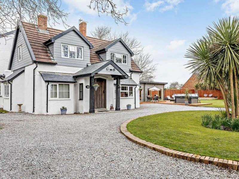
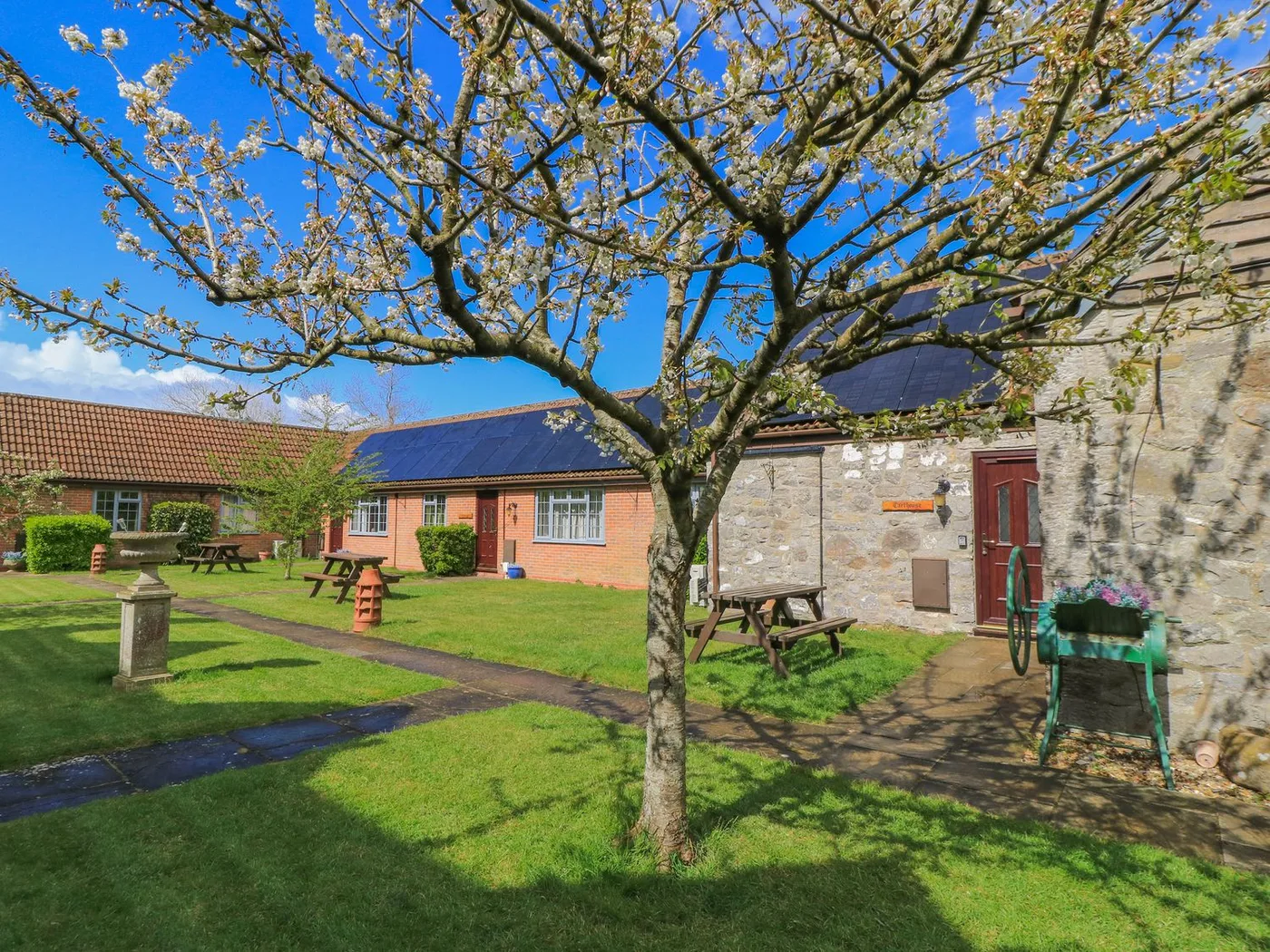
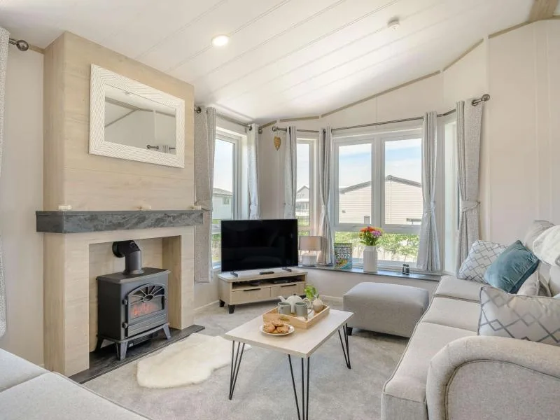
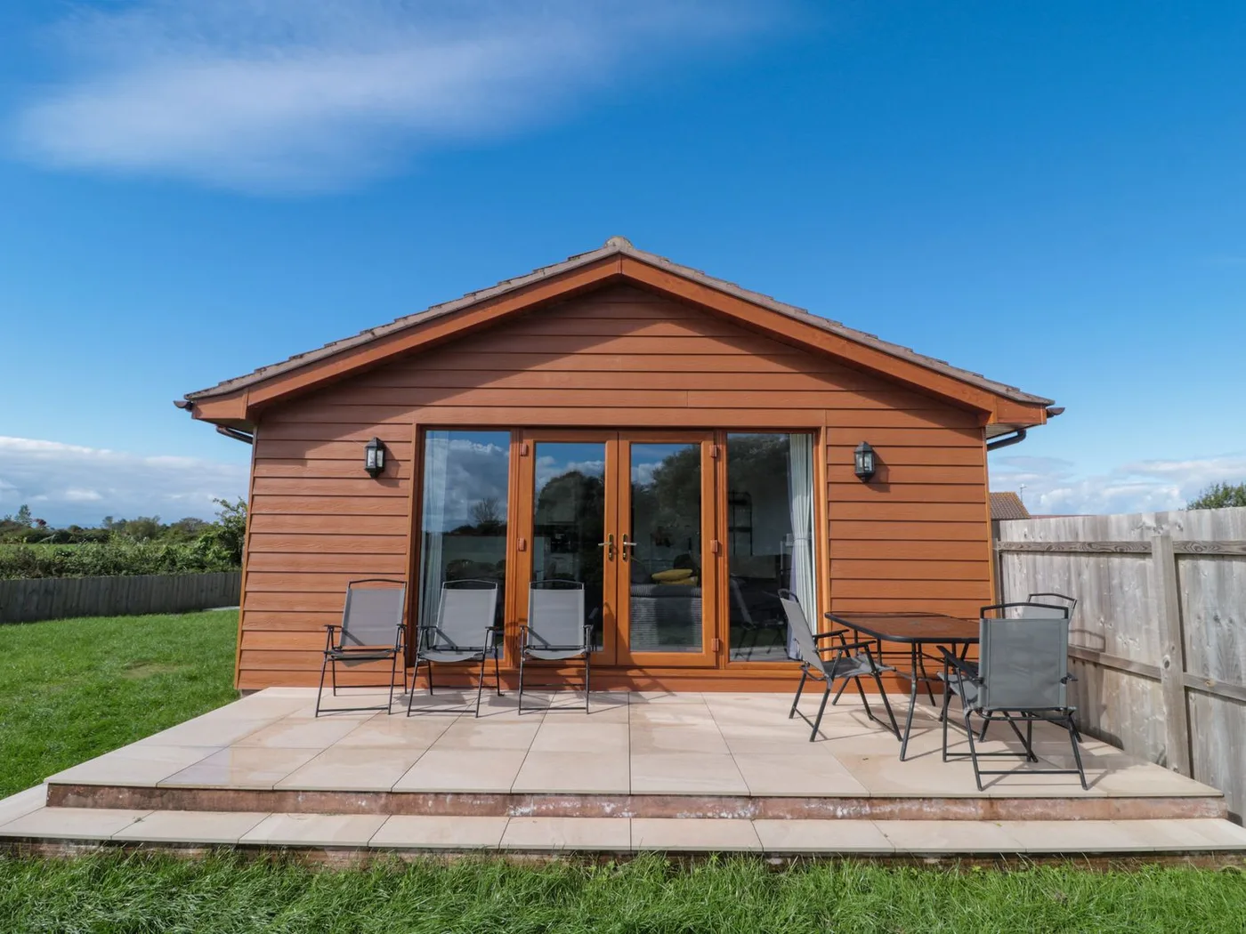
Places to Stay in Brean
Compare the property layouts, facilities and booking details.
Live availability in Brean
Sample dates: 16 October 2026 - 18 October 2026. Adjust below to see live prices for Brean.