Bleadon
A River Axe village under Bleadon Hill
Bleadon is a village and civil parish in North Somerset, about 4 miles (6.4 km) south of Weston-super-Mare. It lies on the River Axe, and North Somerset Council is the local authority. The 2021 census recorded 1,149 people, so this is a small place rather than a seaside town. The Church of St Peter and St Paul dominates the village.
Just to the north of the village is Bleadon Hill, a geological Site of Special Scientific Interest of 13.52 hectares. Brean Down, the National Trust promontory that runs 1.5 miles (2.5 km) into the Bristol Channel between Weston-super-Mare and Burnham-on-Sea, is a short way along the coast. It is a day out in its own right: at the seaward end sits Brean Down Fort, built in the 1860s as one of the Palmerston Forts.
That position makes Bleadon a useful base if you want the hills and the coast without staying in a town. Weston-super-Mare is 4 miles north, and Burnham-on-Sea lies on the far side of Brean Down. The Mendip Way footpath, about 50 miles long, starts at Uphill, on the southern edge of Weston-super-Mare, and crosses the Mendip Hills to Frome. Check tide times before heading to the shore, since this stretch of the Bristol Channel has a large tidal range.
Where to stay
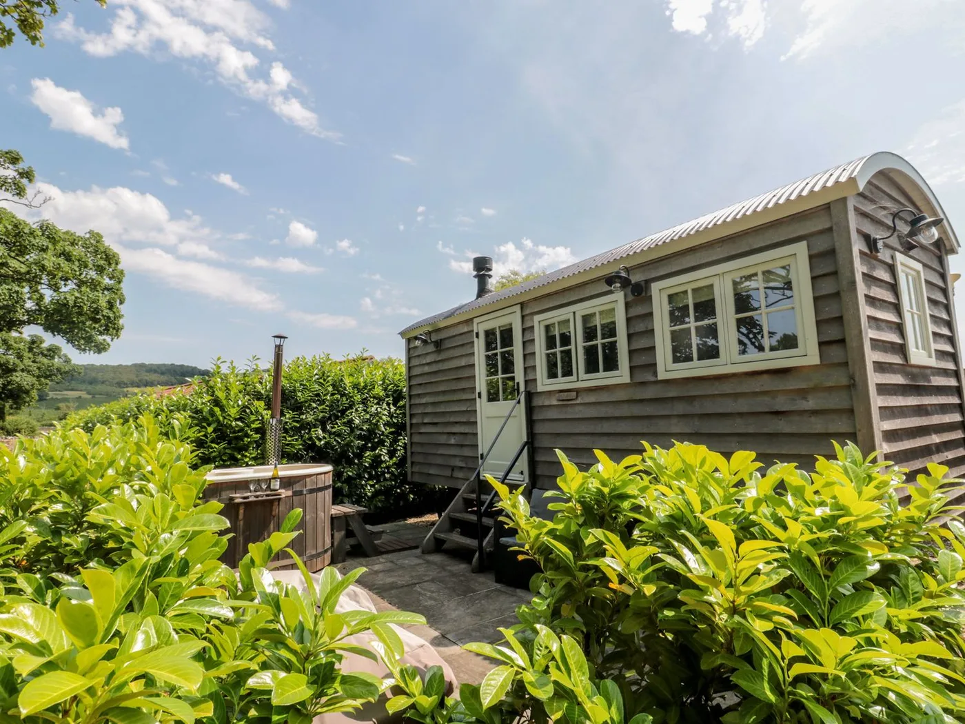
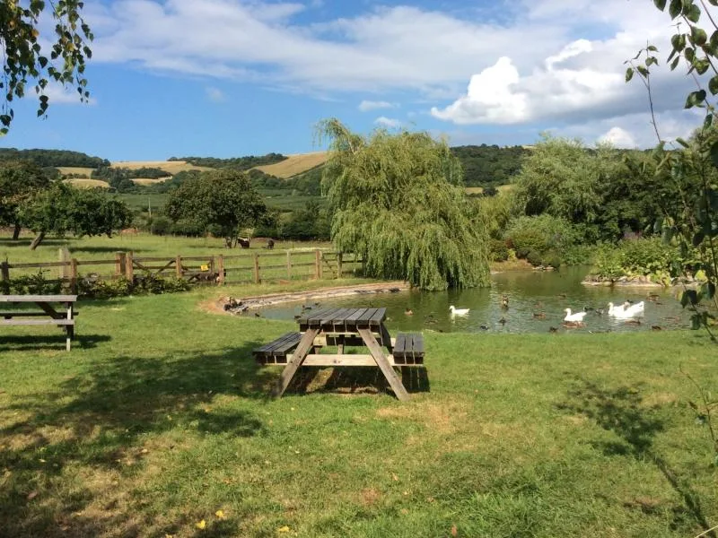
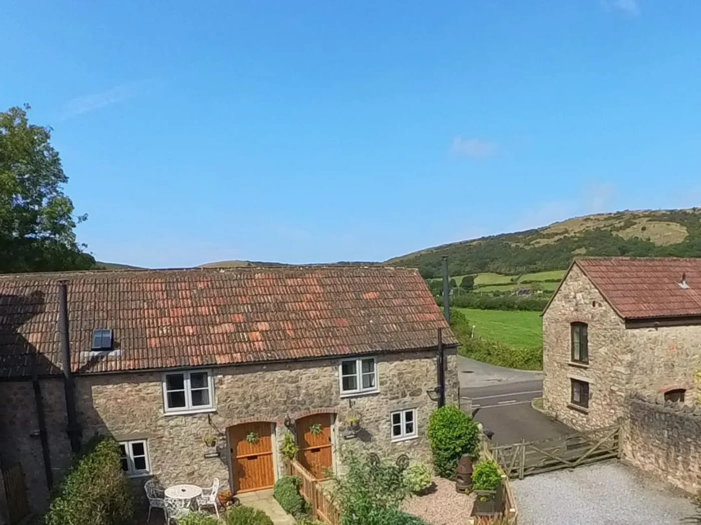
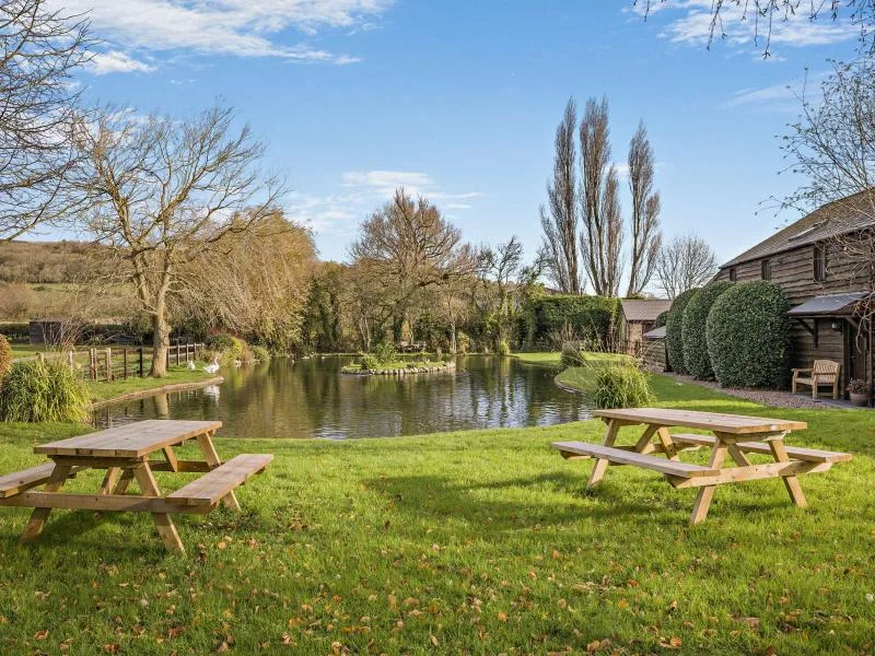
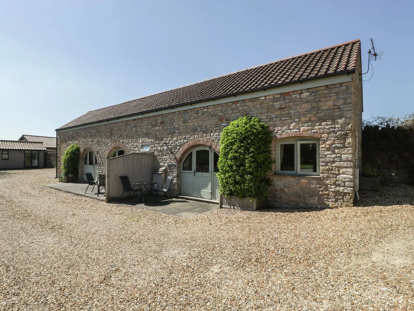
Places to Stay in Bleadon
Compare the property layouts, facilities and booking details.
Live availability in Bleadon
Sample dates: 16 October 2026 - 18 October 2026. Adjust below to see live prices for Bleadon.