Bicknoller
Quantock village on the Coleridge Way
Bicknoller is a village on the western slopes of the Quantock Hills. The hills were England’s first Area of Outstanding Natural Beauty, designated in 1956, and are now termed a National Landscape. The Quantocks cover 38 square miles, so this is a compact range with plenty of room for a week of walking. The village is on the routes of the Coleridge Way, a 36-mile path that begins in Nether Stowey, crosses the Quantocks, Brendon Hills and Exmoor, and ends in Porlock.
The 2021 census gave the parish a population of 373, which tells you the scale: a small place with a church rather than a high street. The Church of St George dates in part from the 12th century and is dominated by a huge elm tree in its grounds. The parish includes the hamlets of Culverhays, Halsway, Newton and Woolston.
The hills above the village are the draw. Thorncombe Barrow, a scheduled prehistoric burial mound, stands on Thorncombe Hill above the village. The highest point of the Quantocks is Wills Neck at 1,261 feet, and the hills are an important site for red deer. At the top, a clear day gives views that include Exmoor, the Blackdown Hills and Wales, with the Bristol Channel along the coast.
Where to stay
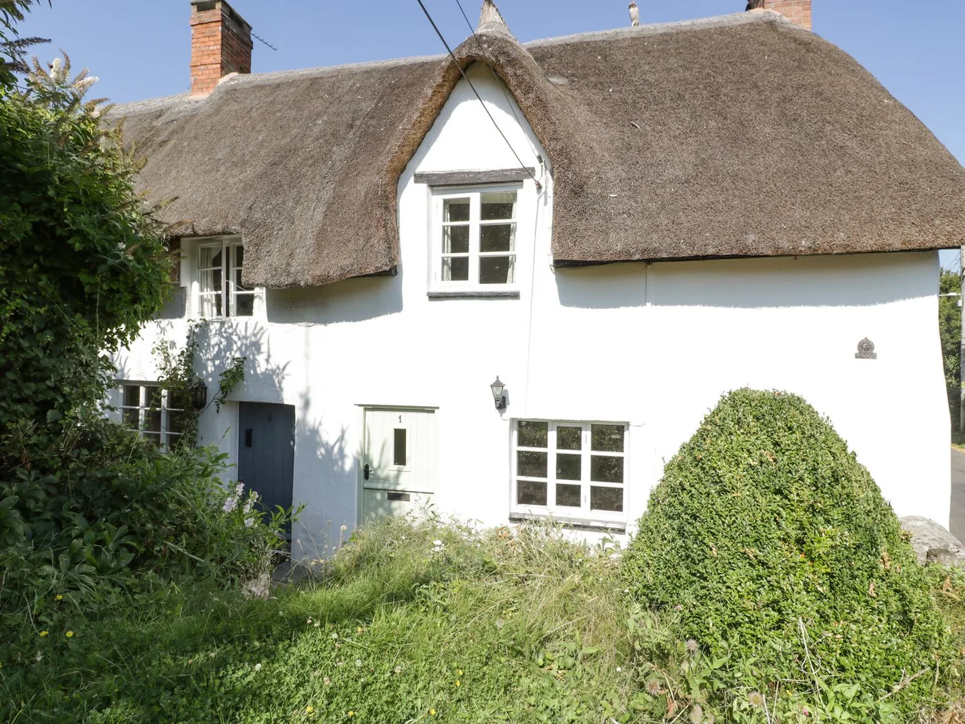
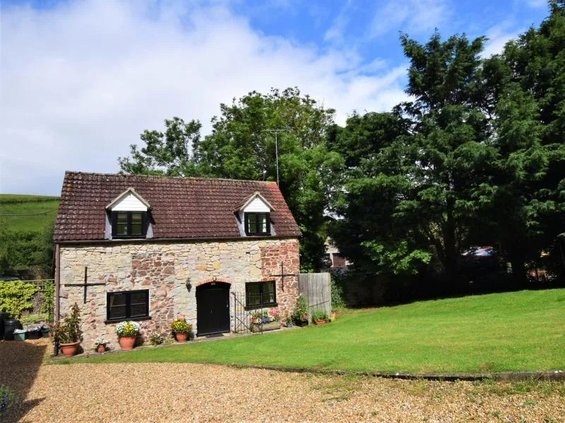
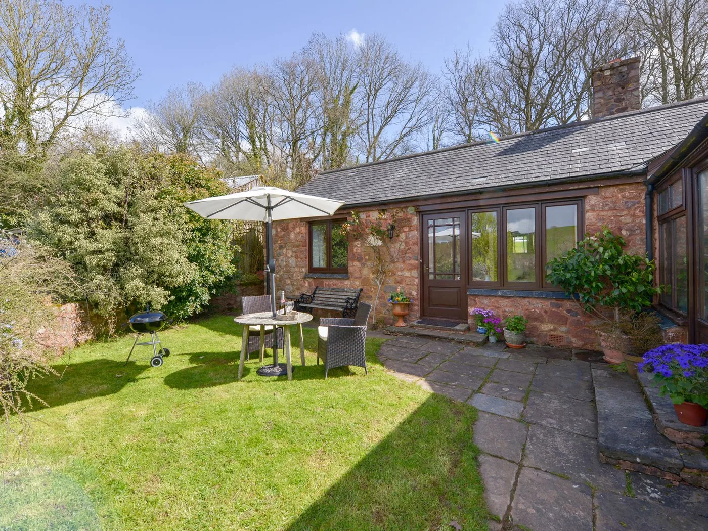
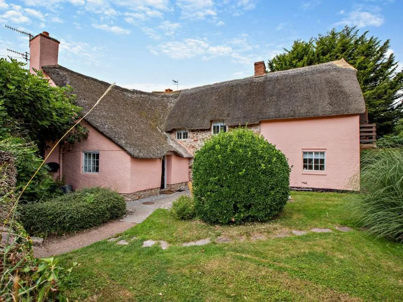
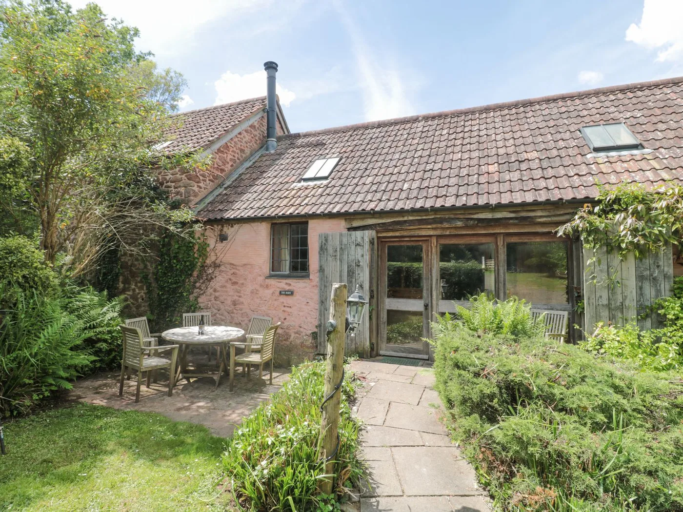
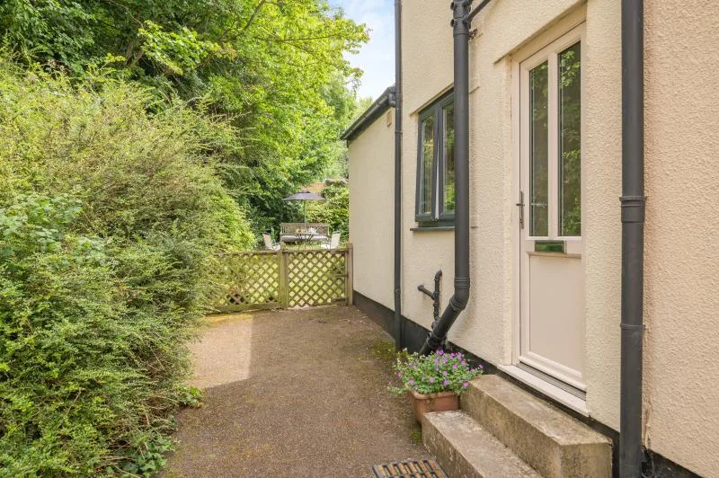
Places to Stay in Bicknoller
Compare the property layouts, facilities and booking details.
Live availability in Bicknoller
Sample dates: 16 October 2026 - 18 October 2026. Adjust below to see live prices for Bicknoller.