South Petherton
A hamstone village between Ilminster and Crewkerne
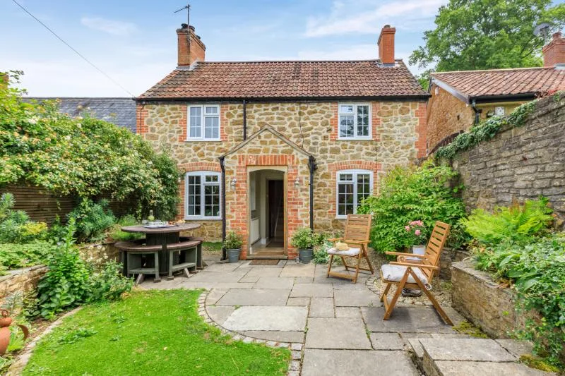
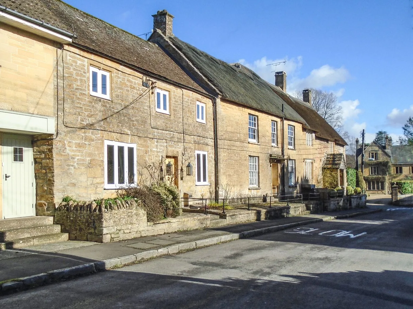
South Petherton is a village and civil parish about 5 miles east of Ilminster and 5 miles north of Crewkerne. The parish had a population of 3,737 in 2021. It is known for the traditional hamstone construction of many of its buildings, and much of that building stone came from Ham Hill, about 3 miles (4.8 km) east across the Parrett valley. The River Parrett forms the eastern boundary of the parish.
The church of St Peter and St Paul has Saxon origins, and its tower is believed to be the tallest octagonal church tower in the UK. The village has older roots still: the Anglo-Saxon Chronicle of 680 refers to a major battle on the site, and King Ine of Wessex reportedly built a palace on what is now Silver Street. The Saxon name, Sudperetone, means roughly “the southern tun on the Parrett”.
For a day out, East Lambrook Manor Gardens is about 1 mile (2 km) from the village. East Lambrook, Martock and Lopen are each about 2 miles (3 km) away. The Fosse Way, the Roman road, is only 2 miles (3 km) distant, and Roman coins and other material have been found locally.
Ilminster and Crewkerne are the nearest towns, and both have their own pages: Ilminster and Crewkerne.
Where to stay
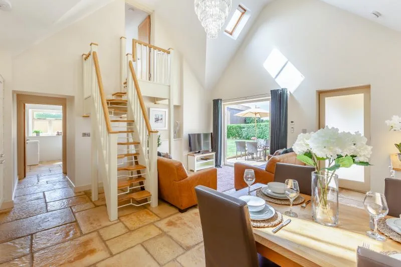
Places to Stay in South Petherton
Compare the property layouts, facilities and booking details.
Live availability in South Petherton
Sample dates: 16 October 2026 - 18 October 2026. Adjust below to see live prices for South Petherton.