North Petherton
A town on the edge of the Quantock foothills
North Petherton lies about 2.5 miles (4 km) south of Bridgwater, on the edge of the eastern foothills of the Quantocks. To the east, the parish extends into the Somerset Levels, so the landscape changes from rolling hill to flat moorland within a short distance. Somerset Council is the local authority, and North Petherton Town Council handles local matters.
The settlement dates from at least the 10th century and was an important place in Saxon times. The Church of St Mary the Virgin is Grade I listed, with a tower that stands 112 feet (34 metres) high. The M5 motorway opened nearby in the 1970s, which relieved heavy traffic on the A38 through the town.
The Quantock Hills run for about 15 miles (24 km) from the Vale of Taunton Deane to the north-west, and they were England’s first Area of Outstanding Natural Beauty, designated in 1956. Mesolithic flints have been found at North Petherton and nearby Broomfield. Wills Neck, the highest point, stands at 1,261 feet (384 m), and the hills are an important site for red deer. North Petherton sits on the edge of those foothills, while Bridgwater and Taunton are the nearest larger towns for shopping and food.
Where to stay
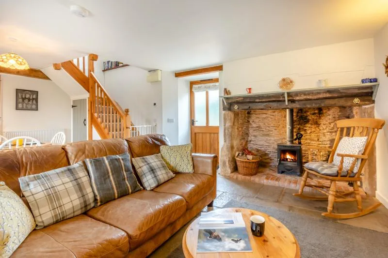
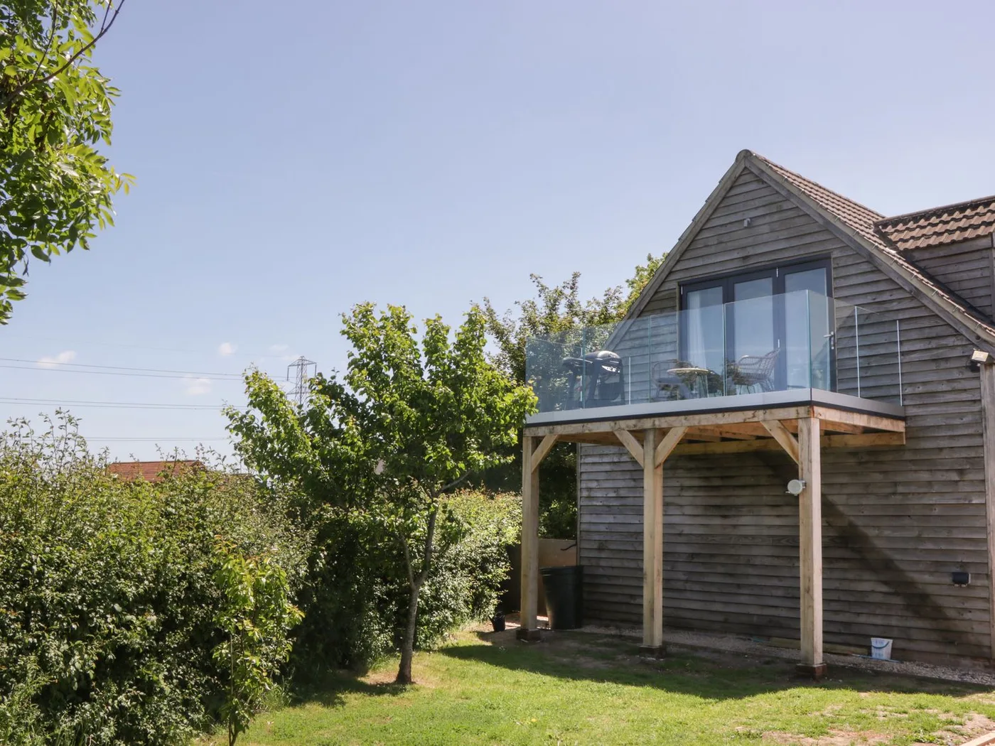
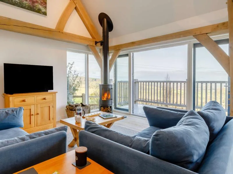
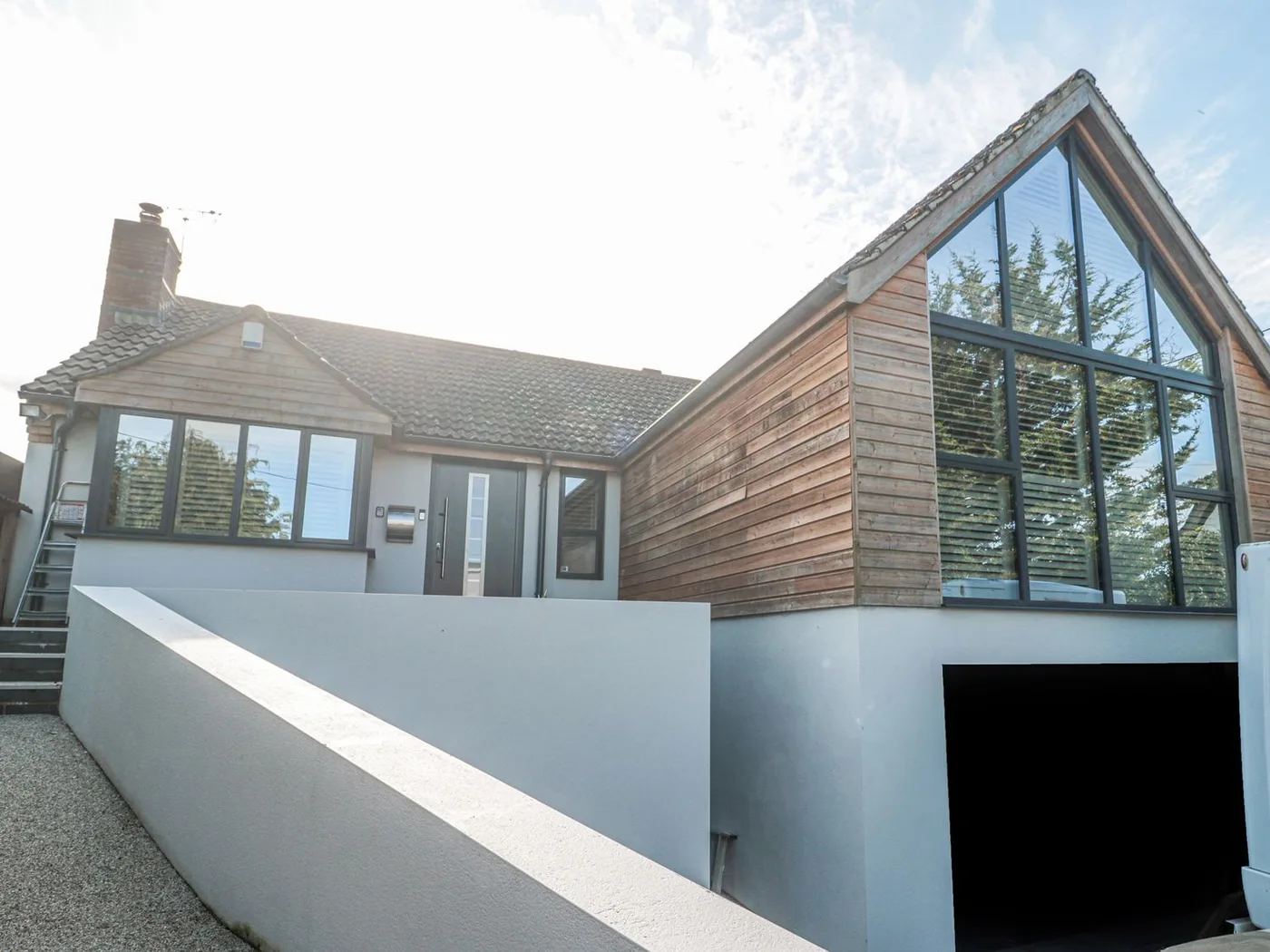
Places to Stay in North Petherton
Compare the property layouts, facilities and booking details.
Live availability in North Petherton
Sample dates: 16 October 2026 - 18 October 2026. Adjust below to see live prices for North Petherton.