Camerton
Coalfield village on the Cam Brook, six miles from Bath
Camerton is a village on the Cam Brook, about 6 miles south-west of Bath, in the Bath and North East Somerset council area. It sits beside the Fosse Way, and a Roman settlement once stood to its south-west. The city of Bath has its own page: Bath.
Coal shaped the village. Camerton New Colliery opened in the very early 1800s, output peaked at 77,000 tons in 1903, and the New Pit closed in 1950. After the mines shut, Camerton turned into a commuter village for Bath and Bristol. The old spoil tip, Camerton Batch, became a Local Nature Reserve in 1997 and lies in the parish.
The railway history is easy to follow on a map. A branch line for coal opened from Hallatrow in 1882, and in 1910 it was extended along the line of the former Somerset Coal Canal to Limpley Stoke. Passenger services ended in 1925 and goods traffic in 1951. The film The Titfield Thunderbolt was shot on the line shortly after it closed.
The Church of St Peter dates from the 15th century, with additions in 1638 and 1891, and is Grade I listed. Camerton Court was built in 1838-40 to a design by George Repton and stands in Camerton Park. The hamlet of Tunley, in the parish, has a scheduled hill fort.
Where to stay
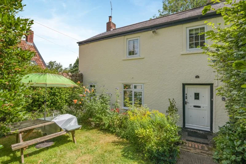
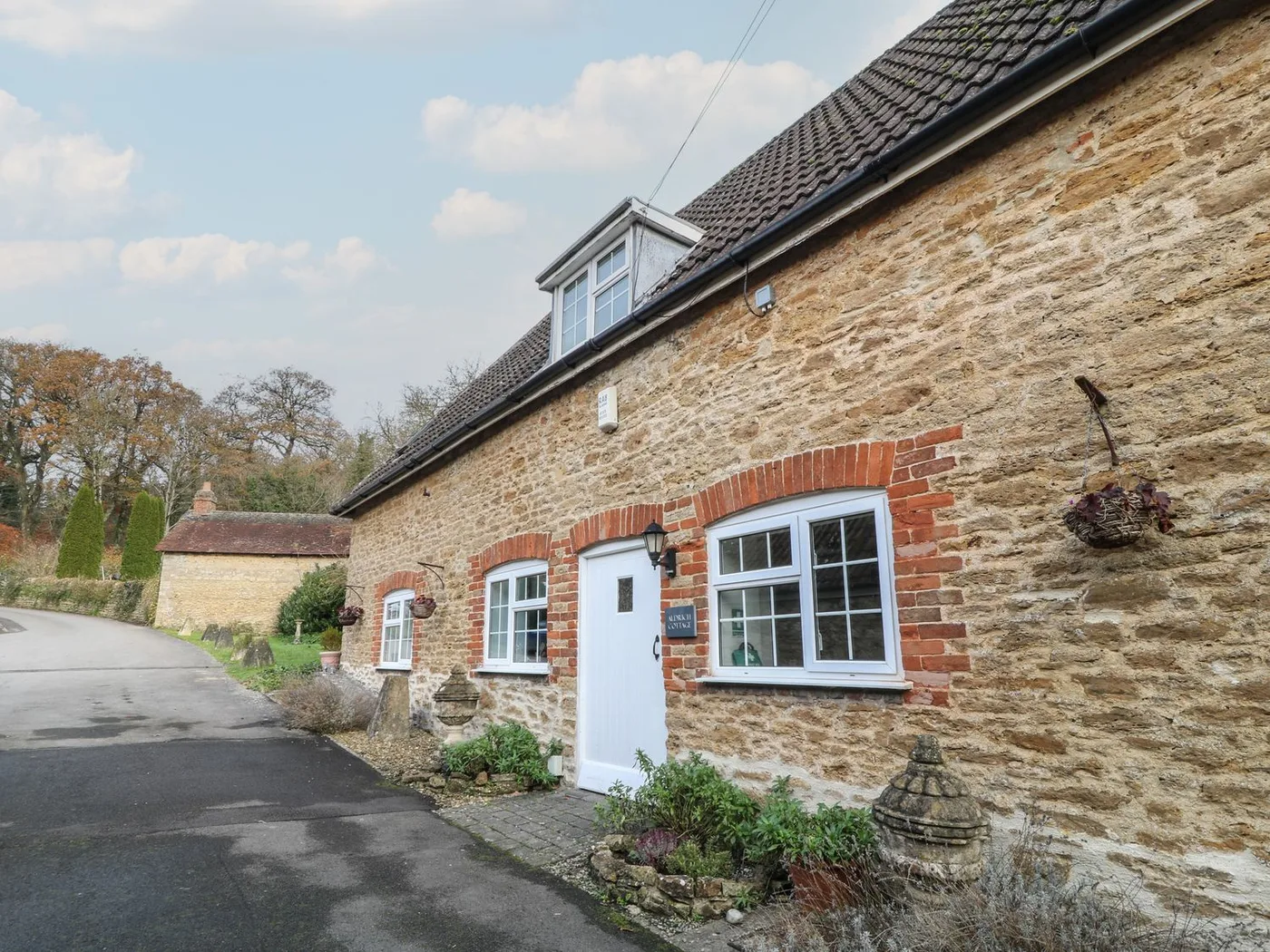
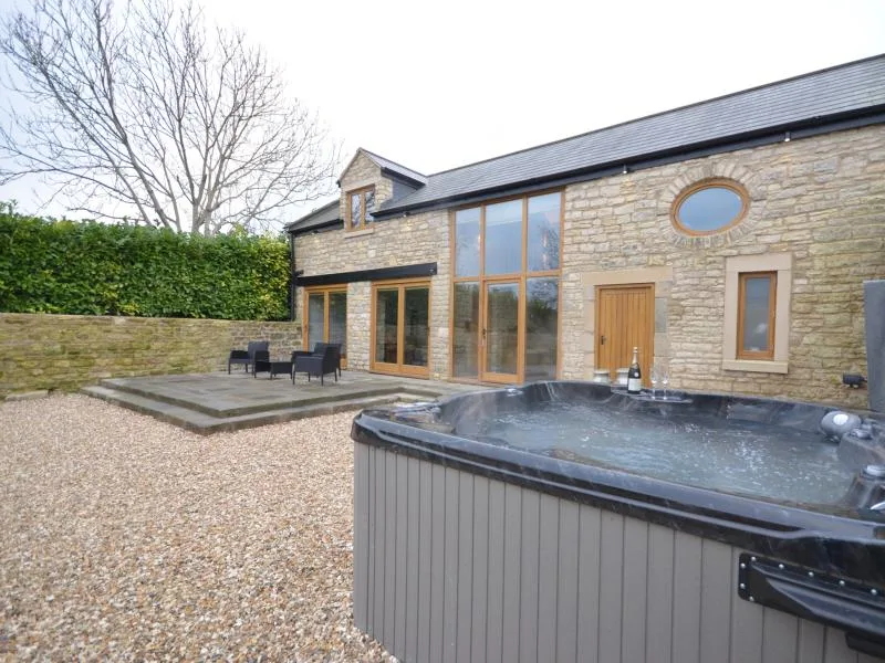
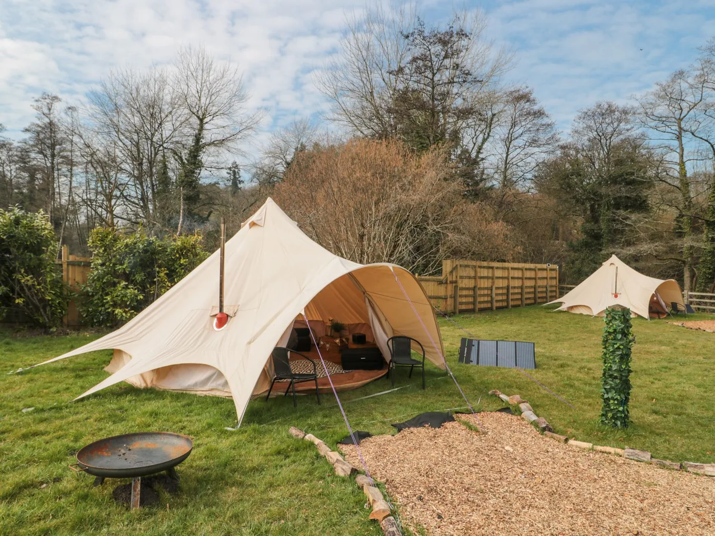
Places to Stay in Camerton
Compare the property layouts, facilities and booking details.
Live availability in Camerton
Sample dates: 16 October 2026 - 18 October 2026. Adjust below to see live prices for Camerton.